Trails - Boundary Country - BC Canada

Current Travel Information Read Now

Facebook Instagram

What are you looking for?

Trails

Discover the many ways to explore Boundary Country Trails

Top 10 Trail Experiences

  1. Columbia and Western Rail Trail from Farron to Midway through Greenwood and Grand Forks. Part of the Trans Canada Trail 
  2. Kettle Valley Rail Trail that connects to Beaverdell and Rock Creek/Midway. Part of the Trans Canada Trail from Midway to McCulloch.
  3. Midway Hiking and Cycling Trails
  4. Christina Lake Hiking and Cycling Trails
  5. Grand Forks Community Trails
  6. Big White Hiking Trails
  7. Old Cowboy Ranch Horse Trail Rides in Westbridge
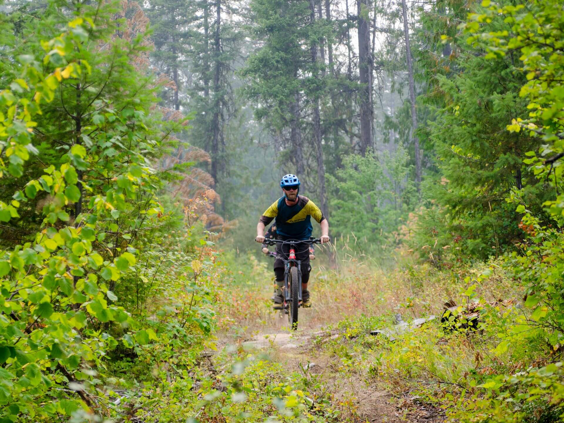
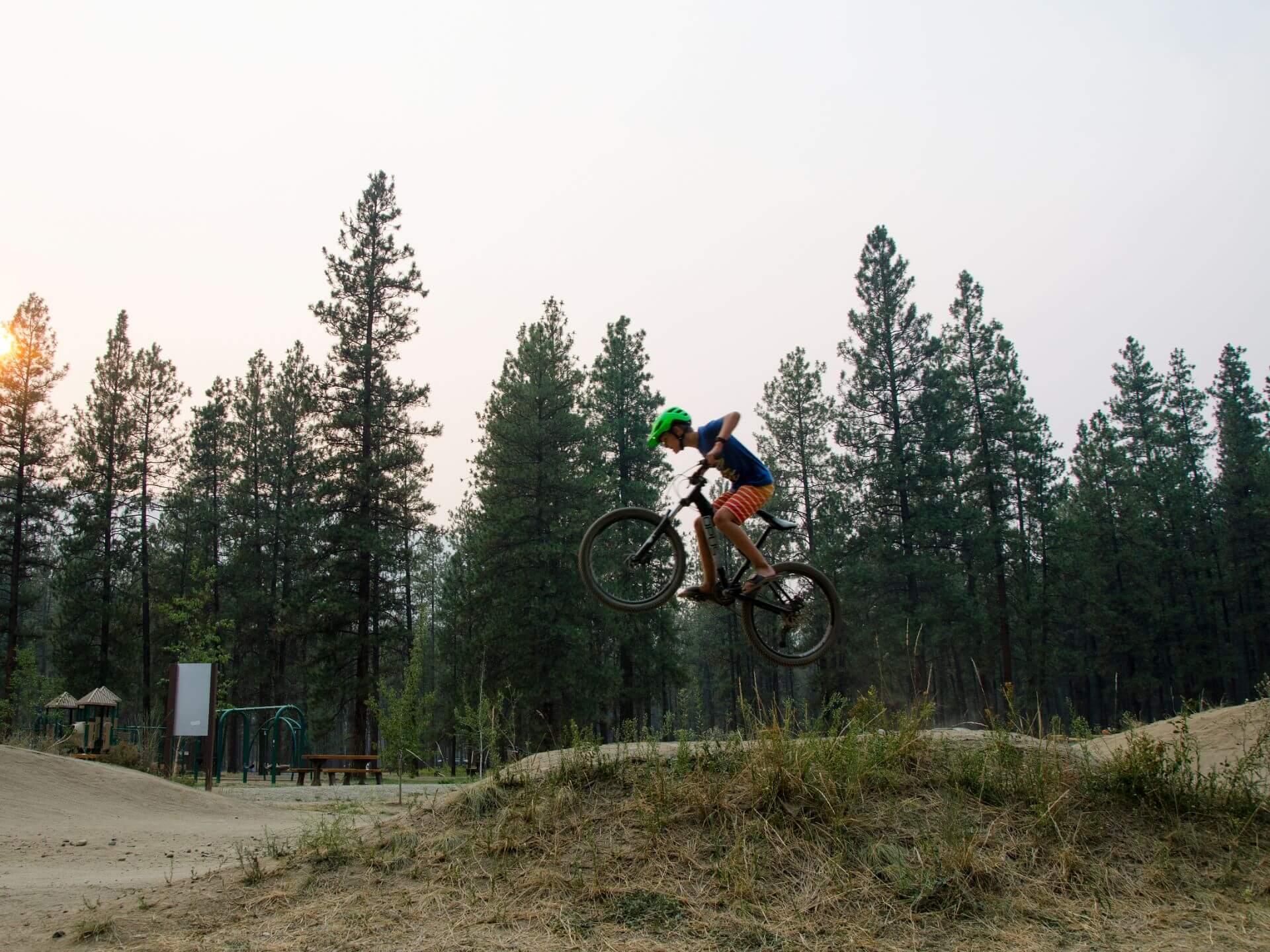
  8. Mountain Biking Trails for Christina Lake, Grand Forks and Midway
  9. Trapping Creek Horse Trails north of Beaverdell/Carmi
  10. Greenwood Twin Flags (first two hikes page 12)

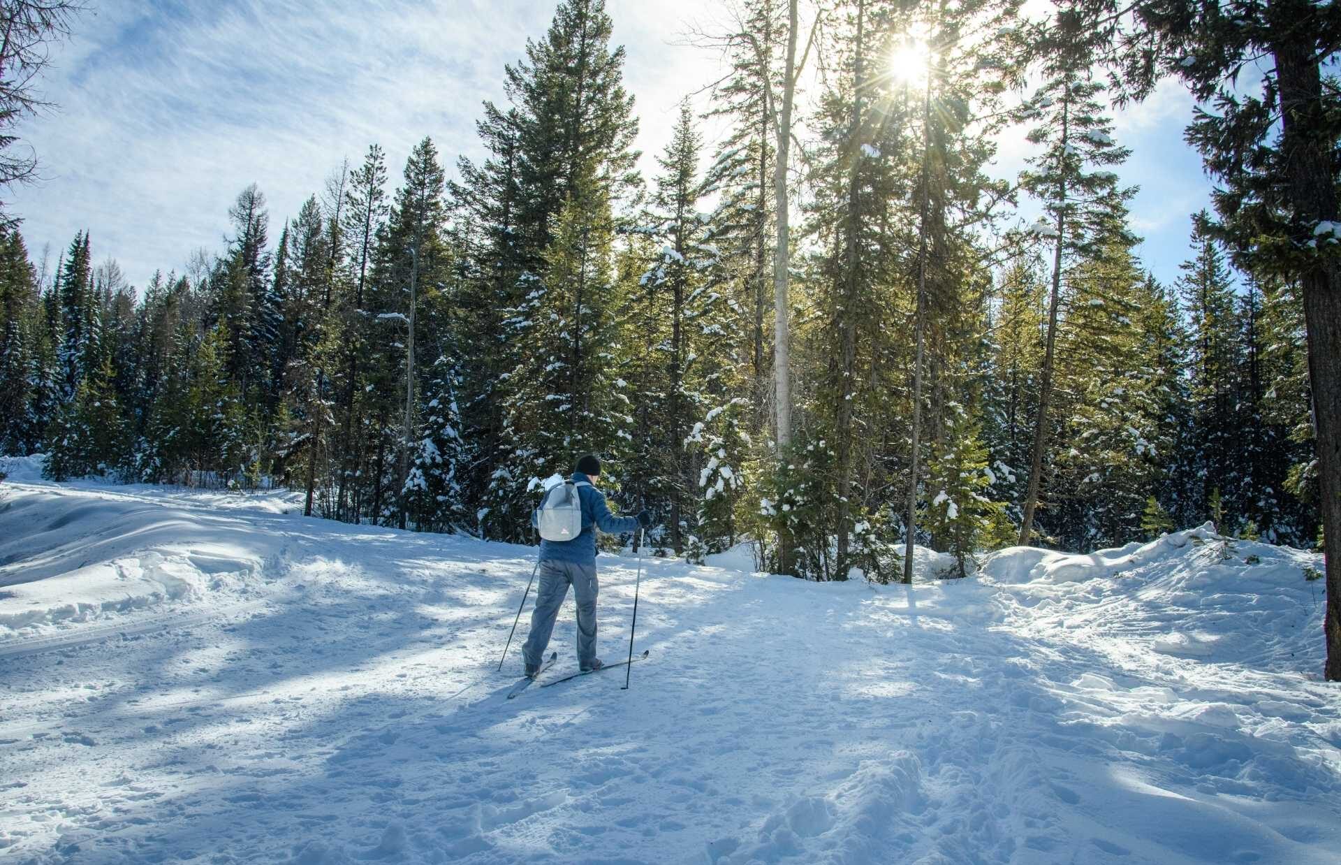
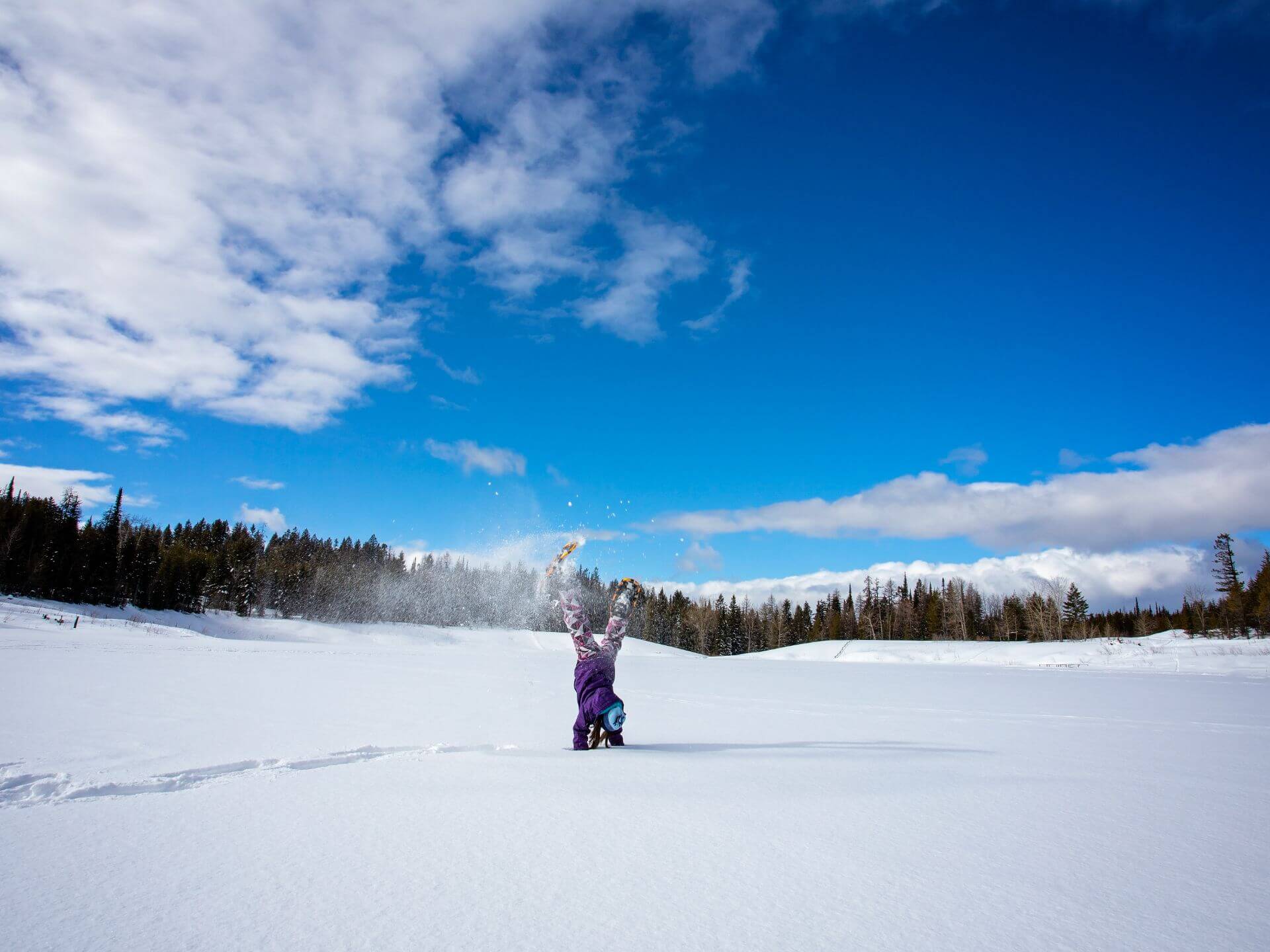
Pull on your hiking boots, sit tall atop your trusty steed, pedal through history on your mountain bike, or strap on your snowshoes or cross country skis and explore this unique area. Boundary Country was made for adventure for everyone, from avid mountain bikers to families and couples looking for a getaway. Voyage out on your own or connect with one of our local tour operators who know this country as well as know their own backyard. We have over 2,000 km (1,243 mi) of easily accessible trails to explore and several ways for you to get here.

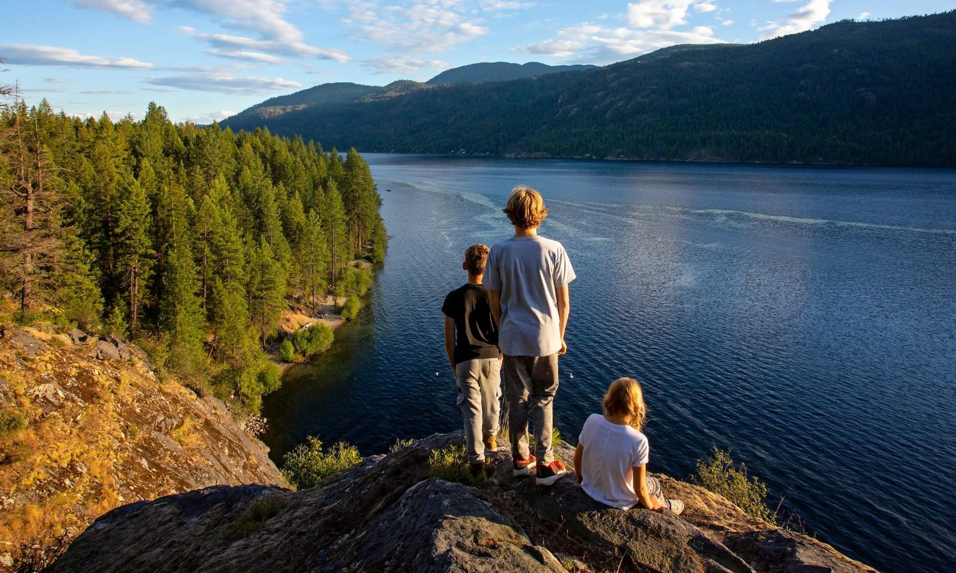
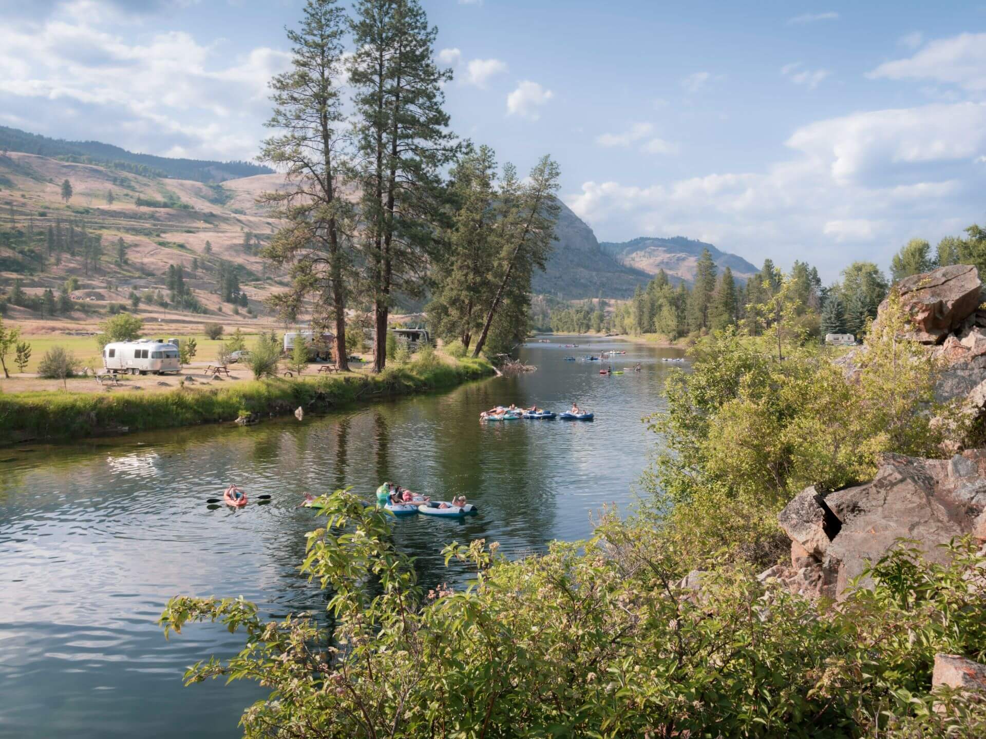
Boundary Country’s trails are a combination of rail trails, wild park trails, and all access trails that run through our welcoming towns. As you explore, you’ll meander through an ever-changing landscape from urban to rural, ranch and grasslands to tranquil river shores and rolling mountains. All this is within easy access to the Canada/USA border and main highways. These are the wilds of Boundary Country, and they are waiting for you.

Check out the 2021 Boundary Country Trail Map

Navigating and planning your trail excursions in Boundary Country just got a whole lot easier. View the 2021 Trail Map below or head into one of the Boundary Country Visitor Centres on your trip to pick up a physical copy. Happy exploring!

2021 Boundary Trail Map
Full version available here

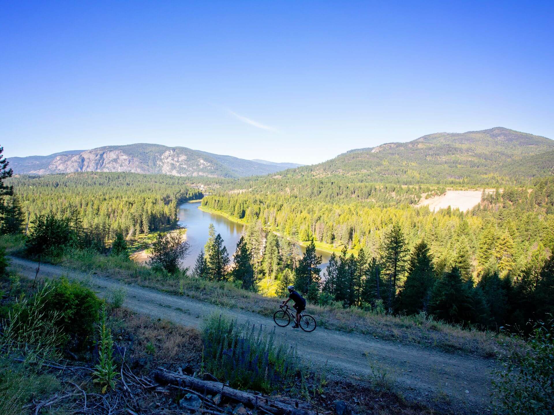
Biking 300, KVR Trail, Boothman Oxbow Provincial Park, near Grand Forks, Boundary Country, summer, activities, Darren Robinson

Rail Trails and Walkabouts

Our trails meander through an ever-changing landscape of rolling mountains, ranchlands, tranquil river shores and ancient grasslands. Urban centres, rural areas and ranchlands, and the wild of Boundary Country offer up almost endless opportunities for explorers of all ages and agility. Visit BC Rail Trails for more information on rail trails in and around Boundary Country.

Hike the Great Trail

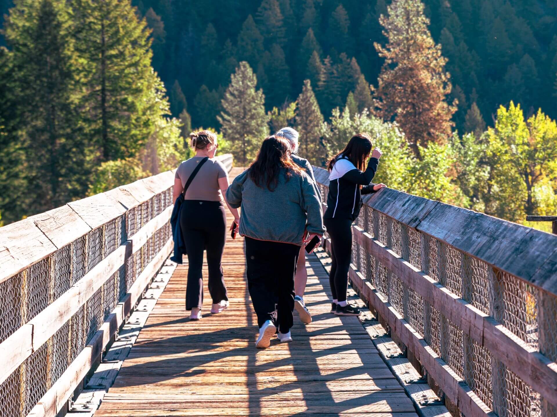
Take a day trip or spend the night camping under the stars. You can venture out on historic rail trails. The Kettle Valley, Trans Canada Trail, and Columbia Western Trails offer you day after day of unique experiences and being up close with nature. There is over 2,000 km (1,243 miles) of trails in Boundary Country that link our communities and history.

There’s nothing better than a walk after a good meal. Walk on well-lit paved pathways or gravel trails. Our walking trails are the perfect way to explore our towns.

Mountain and Park Riding

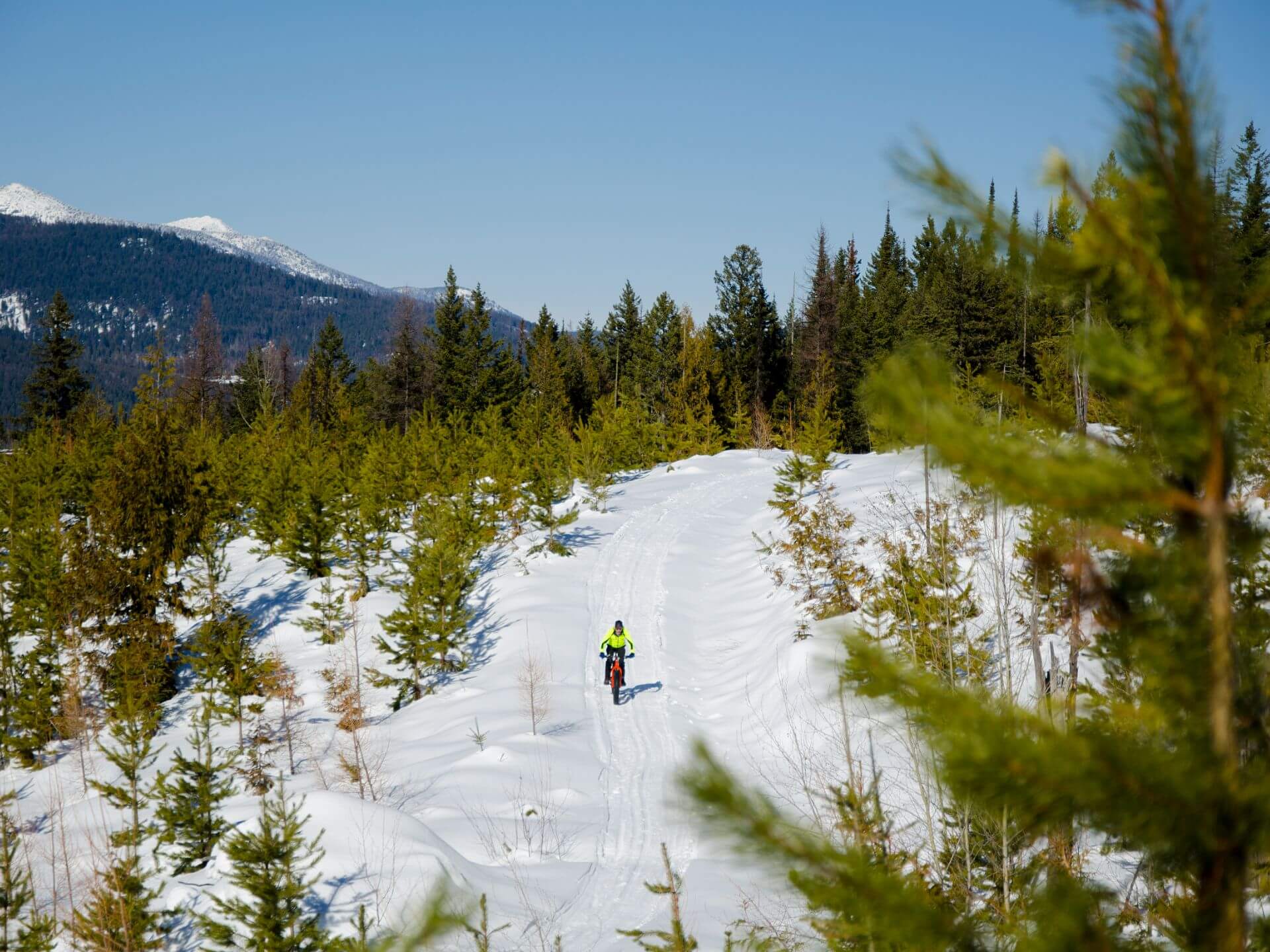
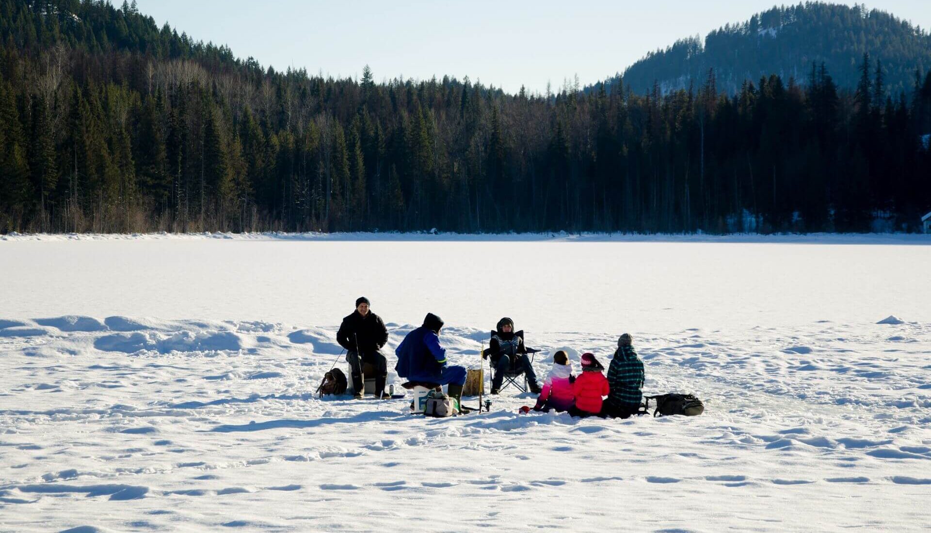
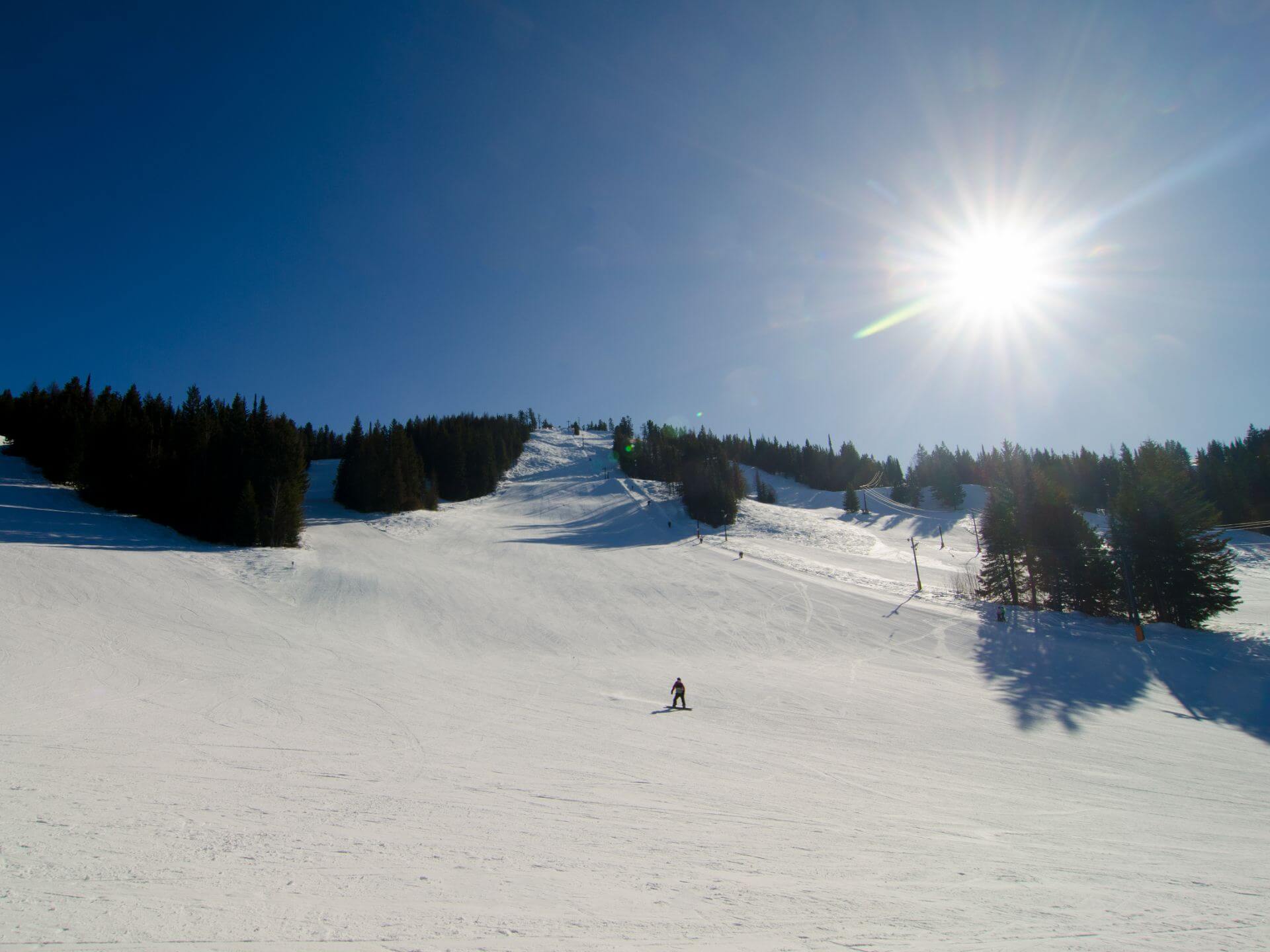
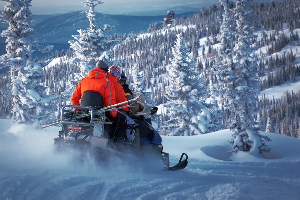
You’ll love the cool of our mountain and park trails. Hike the trails that surround our lakes and rivers in the summer. In the winter, bundle up and head outdoors on the same trails for pure winter fun. Our routes and walkways abound with colour in the spring and fall. There really is no best time to explore.

Connect with the Trails

The Trails to the Boundary Society has several ways for you to connect with them on FacebookInstagram, or Twitter.

Trails BC has a great website that will give you downloadable KMZ/GPX files for your smart phone or tablet with information on the historic trails in the Boundary area. Grand Forks Community Trails also has a mobile friendly site to use while you’re exploring.